America's frontier, county by county
In 1891 the Census Office announced that there could hardly be said to be a frontier line anymore, and America took that to mean the frontier was over. Its rule was simple: land with fewer than 2 people per square mile counted as unsettled. Applied to whole counties on today's borders, 134 counties in the lower 48 are under that line in the 2025 estimates. Together they have about 342,000 square miles of land and 392,395 people. In 1930 there were 138.
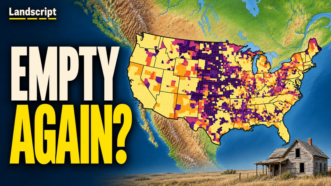 Watch the videoWhy America's Frontier Is Coming Back
Emptiest counties today
- Loving County, Texas 0.08 per sq mi
- Esmeralda County, Nevada 0.20 per sq mi
- King County, Texas 0.21 per sq mi
- Kenedy County, Texas 0.22 per sq mi
- Garfield County, Montana 0.25 per sq mi
- Harding County, New Mexico 0.29 per sq mi
- Terrell County, Texas 0.30 per sq mi
- Petroleum County, Montana 0.33 per sq mi
- Lincoln County, Nevada 0.41 per sq mi
- Carter County, Montana 0.41 per sq mi
Frontier today, but not in 1930
- Harding County, New Mexico 0.29 per sq mi
- Slope County, North Dakota 0.52 per sq mi
- Sioux County, Nebraska 0.57 per sq mi
- Prairie County, Montana 0.64 per sq mi
- Blaine County, Nebraska 0.64 per sq mi
- Kent County, Texas 0.75 per sq mi
- Kiowa County, Colorado 0.80 per sq mi
- Thomas County, Nebraska 0.90 per sq mi
- Banner County, Nebraska 0.92 per sq mi
- Billings County, North Dakota 0.93 per sq mi
Furthest below their peak
- Cottle County, Texas −87% since 1930
- Harding County, New Mexico −86% since 1930
- Slope County, North Dakota −85% since 1930
- Motley County, Texas −85% since 1930
- Hall County, Texas −84% since 1930
- Foard County, Texas −83% since 1930
- Harmon County, Oklahoma −83% since 1930
- McDowell County, West Virginia −83% since 1950
- Collingsworth County, Texas −83% since 1930
- Kent County, Texas −82% since 1930
People per square mile of land, 2025 estimates. Peak: the census since 1930 with the most people; the list counts counties that had at least 2,000 people at their peak.
Questions and answers
- What was the frontier line?
- In the late 1800s the Census Office mapped how densely the country was settled. Land with fewer than 2 people per square mile was unsettled, and the edge of the settled land was the frontier line. After the census of 1890, it wrote that the unsettled area had been so broken up that there could hardly be said to be a frontier line anymore.
- Is this the same line the census drew?
- No. The census drew its line from small settlement areas. This map applies the same threshold of 2 people per square mile to whole counties on today's borders, so a county with one town and a lot of empty land can be under it. It's a modern comparison, not a reconstruction of the old line.
- Why do some counties have missing years?
- Counties that were created or redrawn after 1930 have no comparable number for the earlier censuses. Two old South Dakota counties that no longer exist are added to the counties they became part of: Washabaugh County to Jackson County, and most of Washington County to today's Oglala Lakota County.
- What about Kansas?
- Some researchers, including Frank and Deborah Popper, use a higher bar of 6 people per square mile for Kansas. This map uses the original bar of 2; the panel of every Kansas county also says whether it is under 6.
- Why are Alaska and Hawaii gray?
- The video and this map cover the lower 48 states.
- Where is the data from?
- County populations: U.S. Census Bureau decennial censuses 1930–2020 and Population Estimates Program, Vintage 2025. Land area: U.S. Census Bureau, 2025 Gazetteer Files. County boundaries: U.S. Census Bureau, Cartographic Boundary Files 2025. The 2025 figures are estimates, and very small counties can swing from year to year.
 Landscript