 Landscript
America, county by county
Landscript is a channel about America on maps made from real data. After every video, its map lands here, with a result for every one of the 3,144 counties.
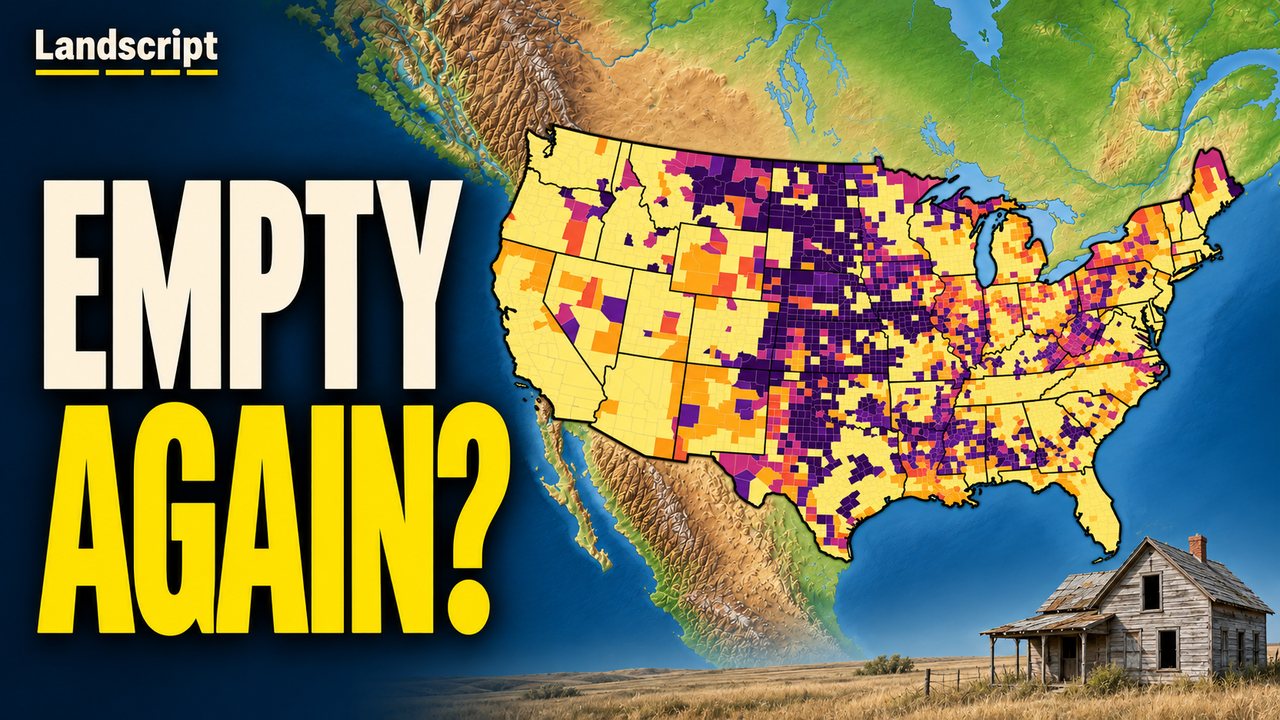
It opens on our newest map: is your county frontier again, and how has it changed since 1930.
Newest map
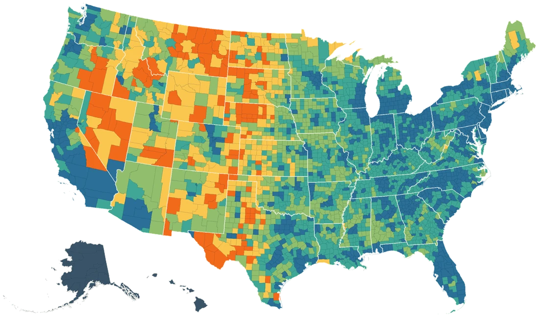
Is your county frontier again?
every county by the 1890 frontier rule, from 1930 to today
134
counties in the lower 48 are under the census frontier line of 1890 today: about 342,000 square miles of land and only 392,395 people. In 1930 there were 138.
Source: U.S. Census Bureau, censuses 1930–2020 and 2025 estimates